
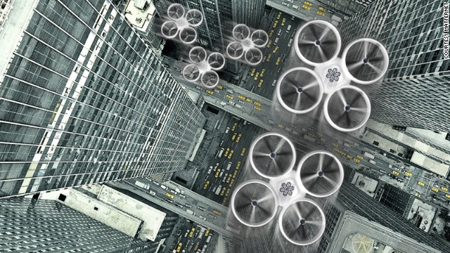
Dr. Kopardekar, a rocket scientist who was NASA Ames Engineer of the Year 2003, is the principal investigator for this project, where low-level Class G airspace (anything up to 1,200 feet about ground level) will be organized to suit our little flying robot friends. As Dr. Kopardekar told www.dronelife.com, "We are basically creating this UAS traffic management system that allows you to accommodate the number of vehicles that will operate in the low altitude airspace. The analogy is ‘just because we have a car, whether it’s an autonomous car or someone is driving, does not negate the need for a road or stop signs or rules of the road.’ The same thing happens in the airspace. We need to have a structure."
Using GPS and geofencing, the drones will be hopefully be kept in line despite whatever their mission may be. Aerial photography, delivery services, weather reporting, and other elements will be made easier with this technology. The program is intended to be operational within five years.
 |
| Pizza's here! |
No comments:
Post a Comment